Industry Article

5 Ways Digital Workflows Help Energy Companies in Land and Finance

Digital workflows are essential for energy companies as they manage both land and finance aspects of their operations. These workflows automate, streamline, and integrate key processes, improving efficiency, accuracy, and decision-making across departments. Here are 5 key ways digital workflows help energy companies manage land and finance effectively:

1. Streamlining Land Acquisition & Leasing Processes

How it Helps

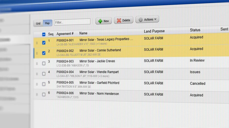
Digital workflows automate the entire process of land acquisition, lease management, and contract execution. This reduces manual paperwork, improves accuracy, and speeds up the entire process, from identifying land parcels to finalizing lease agreements.

Land & Finance Benefits

  • Faster decision-making: Automatically track key milestones, such as lease expiration dates, payment schedules, and renewal deadlines.
  • Financial accuracy: Automate the creation of financial documents related to land leasing (e.g. invoices, payment schedules), to reduce human error and ensuring proper financial tracking.

Example

In the process of acquiring land for a new wind farm, digital workflows automatically generate, store, and track lease agreements, helping the finance department ensure payments are made on time and according to the agreed terms.

2. Regulatory Compliance & Permit Management

How it Helps

Energy companies need to secure various permits and comply with regulations when acquiring land for development, such as environmental impact assessments, zoning permits, and land use permissions. Digital workflows automate permit tracking, compliance reporting, and renewal processes.

Land & Finance Benefits

  • Minimized penalties and delays: By ensuring compliance with regulations (such as zoning laws or environmental regulations), digital workflows reduce the risk of fines or project delays.
  • Financial forecasting: By tracking permit timelines and ensuring compliance, the finance team can better forecast the costs associated with land development and avoid unexpected fines or legal costs.

Example

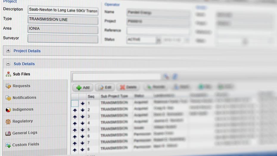
A utility company developing a new transmission line uses digital workflows to track the required environmental permits, ensuring timely submission and approvals to avoid costly delays or fines that would affect project budgets.

3. Optimizing Land Use & Asset Management

How it Helps

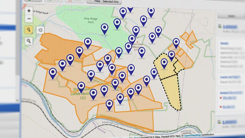
Digital workflows, integrated with Geographic Information Systems (GIS), help energy companies plan, track, and optimize land use for energy projects like wind farms, solar installations, or power transmission lines. By visualizing land assets and their conditions, companies can make better decisions about land acquisition and use.

Land & Finance Benefits

  • Maximized land value: Automating land use analysis allows companies to identify the best parcels of land for development, reducing costs and improving the ROI of land investments.
  • Cost tracking and budget management: By integrating land management with financial tools, companies can track land acquisition costs, operational expenses, and ongoing asset maintenance, helping financial teams manage project budgets more accurately.

Example

A utility uses GIS-based workflows to identify land for a new solar farm, optimizing land use while the finance team tracks the total investment in land and infrastructure, ensuring that costs stay within the projected budget.

4. Automating Financial Reporting & Accounting for Land Transactions

How it Helps

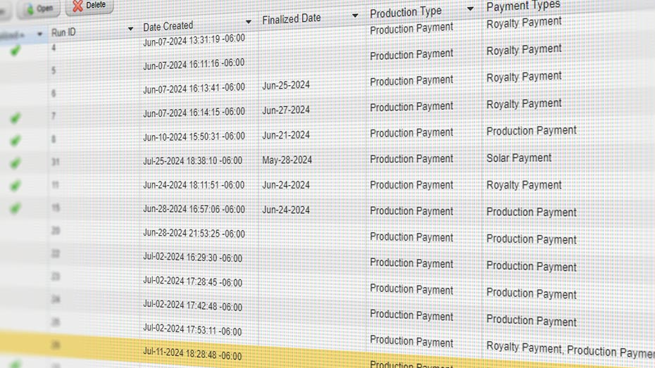
Digital workflows can automate the financial reporting process by integrating land management systems with accounting software. This means all transactions related to land acquisition, leasing, and management (e.g., purchase costs, lease payments, taxes) are automatically recorded, tracked, and reported in real time.

Land & Finance Benefits

  • Enhanced financial transparency: Digital workflows ensure that all land-related transactions are properly documented, providing transparency into financial performance and enabling more accurate reporting.
  • Real-time cash flow tracking: Automatically link land-related payments (e.g., lease payments, land taxes) to the company’s financial records, helping the finance team track cash flow and manage working capital.

Example

An energy company automatically records lease payments made to landowners as part of a digital workflow, which directly integrates with its accounting system, enabling the finance team to easily track expenses and liabilities for all land agreements.

5. Risk Management & Forecasting for Land Investments

How it Helps

Digital workflows enable energy companies to assess land-related risks (such as legal disputes, landowner negotiations, environmental hazards) and integrate this data into financial forecasting models. By automating risk assessments and integrating them with financial models, companies can better plan for potential land-related issues.

Land & Finance Benefits

  • Proactive risk mitigation: By automatically flagging potential issues (e.g., expiring leases, landowner disputes, regulatory non-compliance), digital workflows allow energy companies to address risks proactively, avoiding financial losses.
  • Improved investment planning: Integrating risk management and forecasting ensures more accurate financial predictions related to land development projects, helping companies make informed decisions on investments and funding.

Example

A power generation company uses digital workflows to assess risks associated with acquiring land for a new plant (such as environmental liabilities or opposition from local communities), and the finance team uses this data to adjust investment forecasts and financing strategies accordingly.

Conclusion

By automating, integrating, and streamlining workflows for both land management and financial processes, digital workflows offer energy companies several advantages, including:

  • Efficiency gains: Reducing manual work and administrative overhead, allowing teams to focus on high-value tasks.
  • Financial accuracy: Ensuring that financial data related to land is recorded, tracked, and reported accurately in real-time.
  • Cost control: Helping finance teams manage land acquisition costs, ongoing expenses, and investments more effectively.
  • Risk mitigation: Identifying and addressing potential risks in land acquisition or development projects early on, minimizing financial exposure.
  • Better decision-making: Providing real-time insights into both land and financial data, enabling smarter strategic decisions.

By leveraging digital workflows, energy companies can not only optimize their land management but also align financial planning with operational strategies, ensuring a more streamlined and profitable operation.

For over 25 years, Pandell has been crafting digital workflow solutions to help energy companies drive greater efficiency for their land and finance teams.


About Pandell & Whitestar

Pandell and Whitestar provide a full suite of financial and land acquisition, management, and geospatial data solutions that enable renewables, utilities, natural resources, and pipeline companies to efficiently plan, track and manage their business operations more efficiently.

Social and Info

Our Latest Posts Pandell's LinkedIN

๐Ÿ“ Proud to Sponsor LEMAC!

Pandell is proud to be the Conference Venue Sponsor for LEMAC on November 5!
We’re excited to support an event that brings industry professionals together to share knowledge, strengthen relationships, and explore new opportunities across the industry.

We look forward to connecting with attendees and being part of a great event.
See you at LEMAC!

#Pandell #LEMAC #ConferenceSponsor #IndustryConnections #Networking


๐Ÿ—บ๏ธ IMGIS DAY 3 — COME SAY HI! We’re still at Esri IMGIS 2026, and there’s time to connect with the Pandell + Whitestar team! Stop by Booth #403 to see how land management and geospatial data can work together to deliver smarter insights.

๐ŸŽค MISSED OUR PARTNER SPOTLIGHT?
Thanks to everyone who joined Matt Kopycinski and Mark Woloszyk on Tuesday! If you couldn’t make it, or want to go deeper, join them next Wednesday, November 4, for Part 2 of our Enterprise Land Intelligence Webinar Series: The Data You Already Own But Can’t Use.

๐Ÿ‘‰ Register here: https://lnkd.in/g4kvwhPz
๐Ÿ† Still time to climb the leaderboard! Play the Alquoter Game at Booth #403 for a chance to win a luggage set.

#Pandell #Whitestar #IMGIS2026 #EsriIMGIS #GIS #GeospatialData #LandManagement #AIReady


These two great guys took the stage yesterday at IMGIS!

Matt Kopycinski and Mark Woloszyk presented AI-Ready Enterprise Land Intelligence: Modernizing Land & ROW Acquisition, exploring how energy organizations can connect active acquisition projects, GIS data, and AI to make better use of the land records they already have.

From keeping acquisition projects visible to turning legacy agreements into structured GIS data, there’s a lot of opportunity to rethink how land and ROW teams work.

At IMGIS this week? Come say hello!
Stop by booth #403 to meet the team, talk land and GIS, and explore what AI-ready Enterprise Land Intelligence could look like for your organization.

#IMGIS #EnterpriseLandIntelligence #GIS #AI #LandManagement


Your team has decades of land records. How much of that can they actually use today?

๐Ÿ‘‰ In Part 2 of Pandellโ€™s Enterprise Land Intelligence Webinar Series, Matt Kopycinski and Mark Woloszyk will show how AI-powered tools like Paper to Poly turn deeds, leases and historical maps into searchable, mapped GIS data. And you wonโ€™t need a multi-year migration project to do it.

In this 45-minute Lunch & Learn, weโ€™ll cover:
- Why legacy land records stay locked away
- How to turn paper and PDFs into usable GIS data
- How AI speeds up the conversion
- How to connect legacy data to todayโ€™s land work

Wednesday, Nov 4th | 10:30 AM MDT
๐Ÿ‘‰ Register here: https://lnkd.in/guvJ5rub


๐Ÿ—บ๏ธ CONNECTED. QUERYABLE. AI-READY.

Pandell + Whitestar are heading to Esri IMGIS 2026! Stop by Booth #403 to discover how connected land management and geospatial data can help your team make smarter, more informed decisions.

๐ŸŽค Catch Us at the IMGIS Partner Spotlight!

๐Ÿ“… Tuesday, October 27
โฐ 1:30โ€“2:00 PM
๐Ÿ‘ฅ Featuring Matt Kopycinski and Mark Woloszyk

๐Ÿ† Think You Can Take the Top Spot?

Put your mapping skills to the test in the Alquoter Game at Booth #403! Climb the leaderboard for a chance to win a luggage set and take your next adventure on the road.

๐Ÿ“ Visit Pandell + Whitestar at Booth #403 to connect with our team, explore our solutions, and play to win!

#Pandell #Whitestar #IMGIS2026 #EsriIMGIS #GIS #GeospatialData #LandManagement #AIReady #Mapping


๐ŸŽƒGood Conversations. Great Connections. Proud to Support ETC 2026!

๐Ÿ‘ปDon’t let land management nightmares haunt your business!

Pandell is proud to be a lunch sponsor at Electricity Transformation Canada 2026. Join us to connect with industry professionals, share ideas, and explore what’s next for Canada’s energy industry.

๐Ÿš€**Ready to scare away your land management woes? Request a demo and discover how Pandell can help!**

#Pandell #ETC2026 #EnergyIndustry #GIS #IndustryConnections #LandManagement


๐Ÿ“ฃ Pandell is proud to support the Canadian Association of Land and Energy Professionals Conference 2026 as a Conference Registration Sponsor!
We’re excited to support CALEP and connect with industry professionals who are shaping the future of the energy and land sectors.
At Pandell, we’re committed to helping organizations streamline land management, improve operational efficiency, and keep critical projects moving forward through innovative software solutions.
We look forward to connecting with attendees, sharing insights, and building relationships at this year’s conference!
#Pandell #calepevents #LandManagement #EnergyIndustry #CALEPNorthernHorizon


How do you modernize active land and right-of-way acquisition without replacing your existing land system?

In Part 1 of Pandell’s Enterprise Land Intelligence Webinar Series, we’re breaking down practical ways to solve visibility bottlenecks across scaling acquisition programs.

In just 45 minutes, we’ll explore:

> Why active land projects lose visibility as programs scale

> How to make ownership, next actions, and blockers clearly visible

> How modern workflows connect internal teams and external partners

> How to modernize active acquisition alongside your existing system

Date & Time: Wednesday, Oct 7th | 10:30 AM MDT

Click the link to register for the webinar: https://hubs.ly/Q04ysDJ50

#DigitalTransformation #RightOfWay #GIS #LandManagement #Webinar


That's a wrap on #IPCE2026! Thank you to everyone who stopped by our booth in Calgary this week.

It was great connecting with pipeline professionals from around the world and sharing our message: Pipelines run on more than steel. They run on people, projects, and the right technology.

A big thank you to the IPCE team for putting on another incredible event, and to everyone who took the time to visit us, ask questions, and share what matters most to your projects. These conversations are what drive us to keep building better tools for the pipeline industry.

Didn't get a chance to connect with us in Calgary? Reach out anytime; we'd love to continue the conversation.

Until next time! ๐Ÿ‘‹

#IPCE2026 #Pipeline #EnergyIndustry #Calgary #OilAndGas


View All Pandell Posts