

Ask Anything. Pandell Already Has the Answer.
Energy Software for Land Management, Financial Operations & GIS — Purpose-Built for Midstream, Utilities, & Renewables.
Lease, financials, land records, and geospatial layers - structured, connected and queryable. So the right information is never more than a question away for your team or the AI tools reshaping how you work.
Trusted by Industry Leaders Across North America


Every Financial Record. Every Land Asset. Every Answer.
Pandell connects your financial operations, land data, and GIS - so whatever you ask, the answer is already there.

Financial & Field Ops Suite
Centralize revenue management, joint venture accounting, AP automation, production accounting, and field ticketing. Real-time visibility from the wellhead to the boardroom.
Explore Financial Suite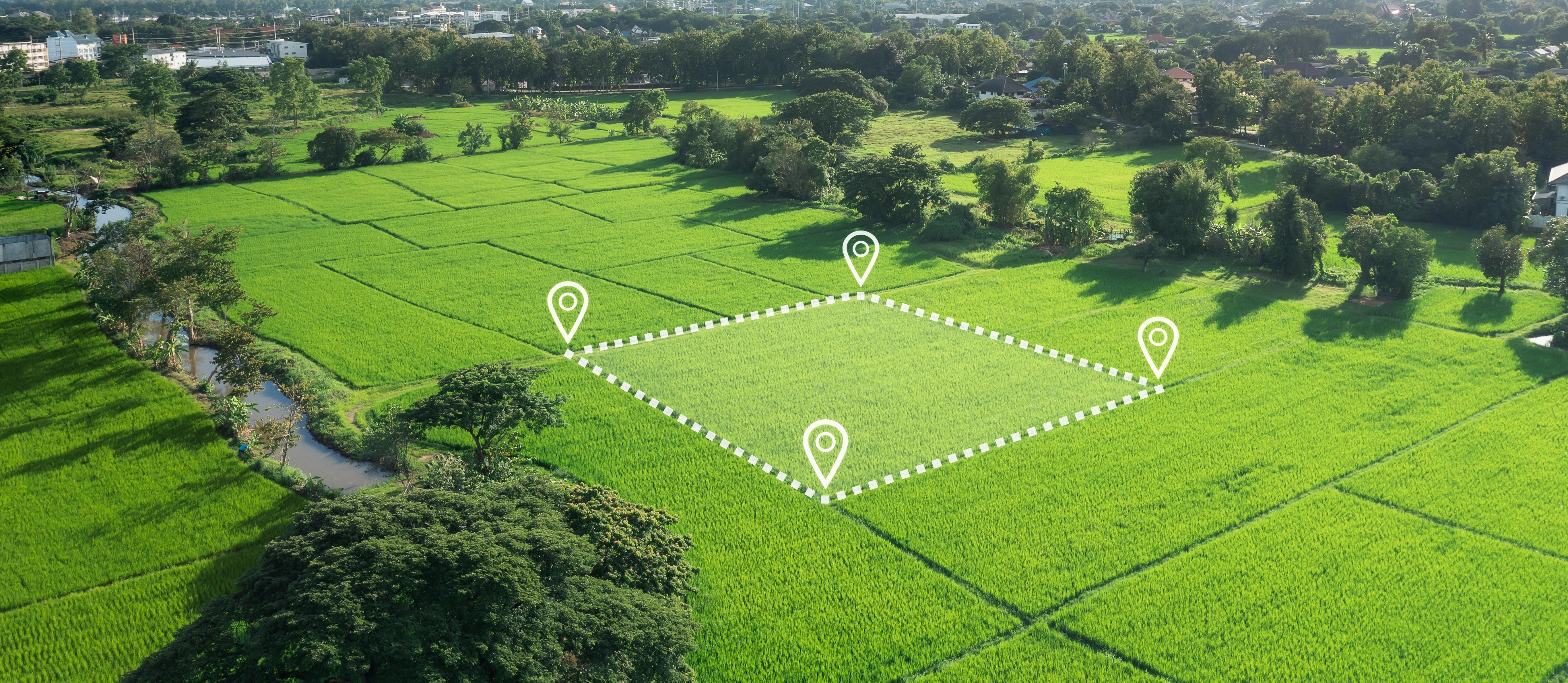
Land & GIS Suite
Acquire, manage, and visualize land assets with integrated geospatial intelligence. From lease agreements to rights of way — complete visibility on every parcel.
Explore Land Suite
GIS Mapping & Analysis Services
When in-house expertise is limited, our certified specialists step in. We analyze land data and legal descriptions to create precise boundary polygons for any land management system.
Explore GIS Services
From Land Acquisition To Financial Close
Every Pandell solution is designed to hand off cleanly to the next step in your workflow — no retyping, no silos, no surprises.
Acquire & Map Land Rights
Digitize records, map boundaries, visualize every parcel and agreement on interactive GIS layers.
Manage Projects & Operations
Track land acquisition projects, manage road use agreements, administer rights of way, and communicate with stakeholders.
Close the Books & Report
Process invoices, calculate royalties, reconcile joint venture accounts, and deliver executive dashboards in real time.
Built for Every Corner of the Energy Sector
Canadian Oil & Gas
End-to-end software purpose-built for upstream Canadian operators.
US / Global Oil & Gas
Scale-ready land and financial tools for cross-border operations.
Pipelines
Right-of-way, crossings, and distribution management for midstream.
Utilities
Asset management and geospatial tools for power and gas utilities.
Renewable Energy
Land and GIS solutions supporting wind, solar, and hydro development.
Field Services
Field ticketing, approvals, and cost tracking for service companies.
Land Agents & Brokers
Project management and document exchange tools for land professionals.
Records Digitization
Expert services to digitize, index, and migrate legacy land records.
What Our Clients Say
“Before, mapping land rights was a time-intensive manual effort. Since we started working with Pandell's GIS Mapping Services in 2016, our right-of-way agents are more equipped to respond quickly and plan more effectively. We're making smarter, safer decisions across our grid.”
Patrick Dubberly
Environmental & Land Use Planner III
Tucson Electric Power
“Pandell gave us a trusted data foundation going into our acquisition. What used to take months of manual work was done in weeks — and we had confidence the data was right.”
VP of Land
Grid Scale Renewables Company
“We cut data preparation time by over 50% after digitizing our legacy land files with Pandell. Our land team can find what they need instantly — and our operations teams are no longer waiting on land research to move forward.”
Director of Land
Enterprise Midstream Company
FAQ

Ready to See It in Action?
Join 500+ energy companies who've chosen Pandell to unify their operations.
Request a Demo