
Pandell GIS is designed for:
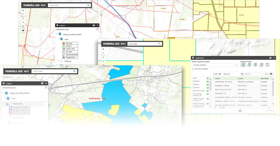
Pandell GIS software connects your land system data to the Esri ® ArcGIS mapping platform. It manages spatial data creation and maintenance for all types of land related polygons including upstream and midstream oil and gas, utilities, and renewables projects.
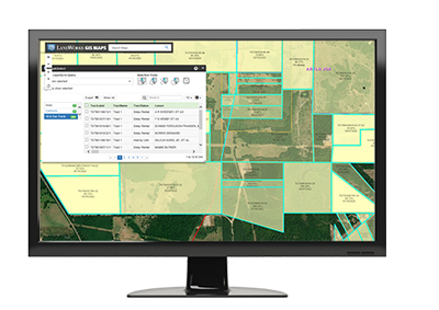
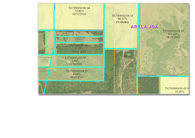
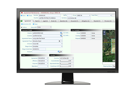
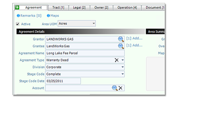
Pandell GIS and Pandell LandWorks are two peas in a pod. They work seamlessly together to eliminate data duplication and enable better planning, analysis and communication. By connecting in real-time, they maintain data integrity and facilitate accurate reporting.
Pandell GIS is fully integrated with Esri’s ArcGIS technology and can be acquired as a single, affordable, hosted solution. By bundling these technologies, you gain world leading GIS tools, reports, and document image display for your land management.


Learn what one-of-a-kind features make it easy to display the status of project work and land rights on an interactive map.

Find out how Pandell GIS bridges the gap between standard land management practices and modern GIS technologies.

20-years of development has earned Pandell GIS its place as a trusted Esri Cornerstone Partner with gold level business status.

Digitally connect to your land, operations, and other data management systems with import/export utilities and seamless integrations.

Get help when you need it with one-to-one user support, group user training, lunch & learn re-caps, video tutorials and more.

Stay on top with advanced web technology, easy system integration, free upgrades, and secure data hosting.

Download the Pandell GIS brochure PDF.


About our support, pricing, and more.