Energy Industry Software

Utility Industry Software for Managing Land Assets

Never miss a Right-of-Way payment or provision obligation again.

Xcel Energy Services AltaLink L.P. Consumers Energy Company Texas New Mexico Power Metro Wastewater Reclamation District Basin Electric Power Cooperative

Why Should Your Utility Company Use Pandell Land?

Electric, gas, water, and telecom companies use Pandell software to manage their land assets and leases. Whether you’re a municipality, part of a cooperative, or a large investor-owned utility with subsidiaries around the globe, you can use Pandell software enterprise-wide as your central system of record. Pandell can empower your team to manage any type of land right, including rights-of-way, deeds, surface leases, permits, contracts, and temporary workspace agreements, all from a single system.

230+ System & Data ConversionsOur project teams have helped dozens of companies convert from ineffective land, financial, and field operations systems, to our modern digital solutions.

3 out of 4 Companies Choose Pandell75% of companies that engaged Pandell in a product demo over two years went on to select Pandell as their enterprise software partner.

500+ Energy CustomersOur web-based solutions deliver innovative functionality and data security to companies in all energy sectors, from startups to global energy leaders.

Digital Support for Your Critical Land Management

Make it easy for your business teams to track and manage any type of land right from acquisition to divestment. Pandell’s land and GIS suite integrates with your accounting, document management, and facilities management systems to facilitate accurate administration of intricate obligations and provisions. Track progress on new development projects in real time, provide remote access to field agents, and view project work on intuitive, easy-to-use web maps.

What's Your Business Challenge?

  • Challenge

    Tracking Improvement Projects

    Solution

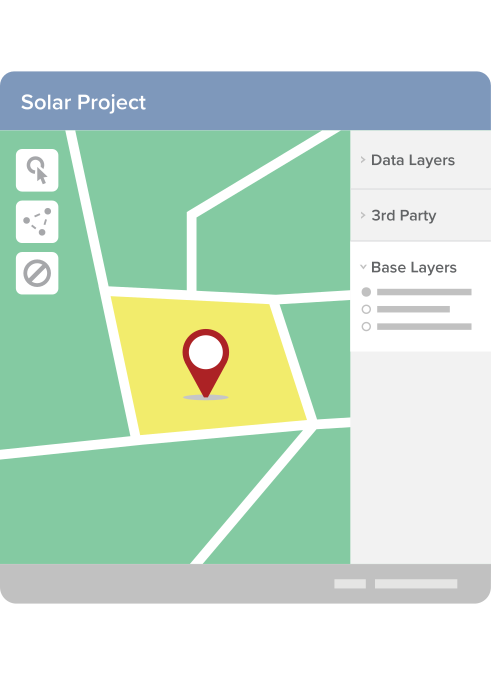
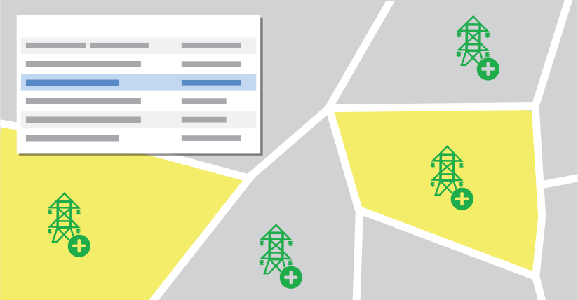
    Combine Custom Workflows with GIS Maps “We’re an electric cooperative serving customers in nine U.S. states and we’re using Pandell software to manage our acquisition, survey, and other land-related projects. We create custom workflows and attach them to each land record and parcel. For example, if a temporary workspace is required for a repair project, we create a work order, attach tasks to the project, and track hours for billing. As each record progresses through its workflow, the GIS map updates automatically to show current parcel status in real-time so we can better monitor progress.”
  • Challenge

    Managing Your Diverse Land Assets

    Solution

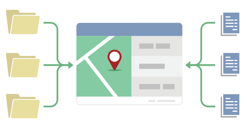
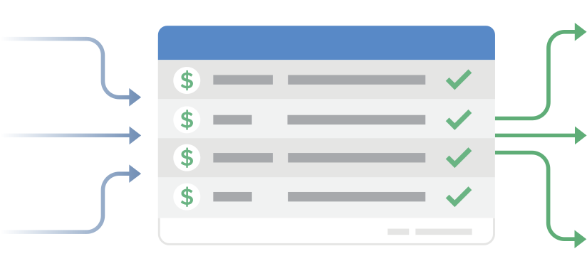
    Administer All Agreements in a Single Database “With our large variety of assets comes an equally large variety of obligations and challenges. With Pandell software, we can manage our regulated and non-regulated business within the same database, as well as both deeds and leases. The system integrates with our accounting software for one-time, annual, and escalating payments.”
  • Challenge

    Analyzing Your Operations in Real-time

    Solution

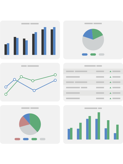
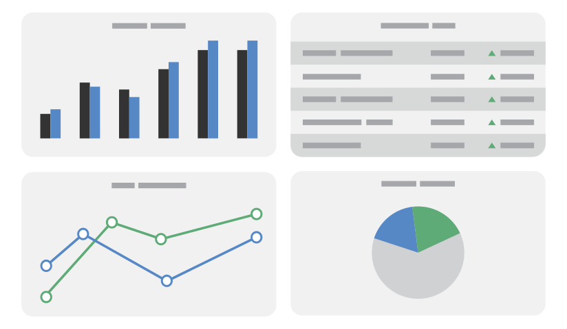
    View Rolled-up Dashboard Analytics “As an Investor-owned utility with four subsidiaries, we rely heavily on Pandell’s dashboards and custom reports to drive strategic land management decisions. We drill down to the data view we want and get immediate answers to critical questions like: Am I in compliance with all obligations and special considerations? Am I paying rent or taxes on properties I don’t need anymore? And, can I validate all transactions against their current agreements and bills?”
  • Challenge

    Accelerating Fieldwork

    Solution

    Mobile Field Apps and Maps “We’re an electric power and natural gas utility company operating 15 interconnected generating stations. We use Pandell land and GIS software so that our field staff can instantly check land rights and record landowner contacts directly into the system. Our vegetation management group can create a map based on a specific line and show restrictions in red to aid the field crew in planning.”
  • Challenge

    Streamlining Landowner Communications

    Solution

    Automate Tasks & Update Data in Real-time “We cut down our manual data entry significantly by using Pandell’s land system to auto-fill Microsoft Office forms, such as easement, planned maintenance operations, and compliance letters. Plus, our field reps use the Contact Management mobile app to record landowner communications which helps keep our database continually up to date.”

All-Inclusive Land Rights Repository on the Web

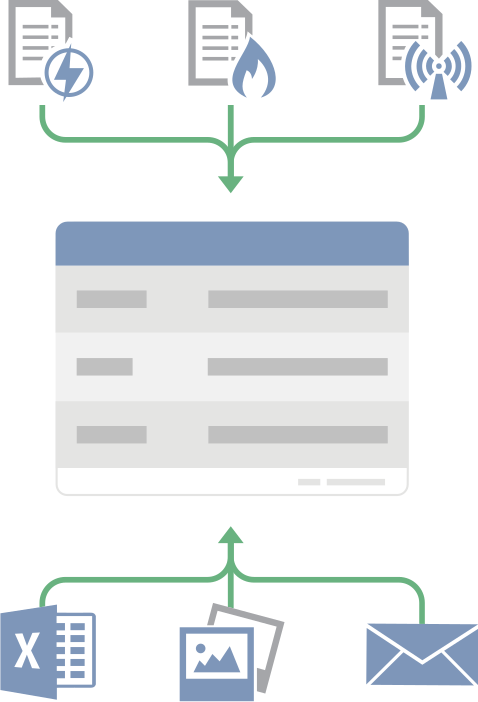
  • Easily search and report on your utility leases, deeds, easements, term rights-of-way, permits and contracts from one database.
  • Web-based deployment allows any authorized user to access information from anywhere.
  • Automatic audit controls and robust security options ensure the integrity of your data.

Best-in-Class Esri GIS Mapping

Project Management Portal

  • Real-time web portal for communication between energy operators and project land and field agents.
  • Cloud-based project repository for all crossings requests and sharing consent status.
  • Landowner and community stakeholder management, communications, and compliance reporting.
  • Project status maps designed to support multiple parallel workflows.

Software Solution Case Study

U.S. Utilities Giant Optimizes Land Assets With Pandell Land & GIS Software and Services

Download Case Study PDF

Payment Process Automation

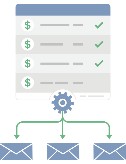
  • E-calendar functionality tracks all payment obligations and delivers reminders to designated staff.
  • Records and calculates escalations as required.
  • Includes standard payment reports and electronic payment approvals.

Dashboard Analytics & GIS-Integrated Reporting

  • Standard reports designed for the utility industry let you query and retrieve agreements by line or facility. Create reports and maps showing multi-line rights, vegetation management, ingress/egress provisions and obligations along a line.
  • GIS-enabled dashboard analytics provide custom reporting criteria for day-to-day operations and at-a-glance executive decision making.
  • Advanced Excel reporting capabilities.
  • Manages FASB/IFRS reporting requirements with automated exports of key lease data changes to accounting.

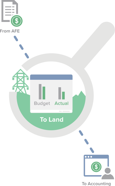
Project Budget Tracking Across Land, Ops, & Finance

  • Generate, approve, and track AFEs from inception to close-out for the development of wind farms, infrastructure, and other capital projects.
  • Monitor AFE costs against budget by tracking AFE actuals and forecasting remaining costs.
  • Integrate with your financial system (SAP, Oracle Financials, Great Plains, and more) to share vendors, chart of accounts, payments, and actual costs.
  • Integrate with the land system to communicate project status with land stakeholders in real-time.

Customer Video Interview

Learn How Algonquin Power & Utilities
Manages It's Land Assets

Watch the Interview
See how integrated Pandell energy software lowers your operating budget

Watch the video


Why Choose Us?

Best Product FunctionalityOur state-of-the-art products enable office, field, and management to perform daily tasks with ease, connect workflows across departments, and make well-informed decisions based on powerful reporting analysis.

Outstanding Customer ServiceFrom our top-ranked help desk and user training programs, to our product implementation, hosting, data migration, land record digitization, and mapping services; we have the most comprehensive value.

Proven Technology LeadershipWith a significant portion of our revenues directed right back into R&D, we constantly evolve our product suite to support ongoing customer growth, shifts in regulatory standards, and advancements in digital technology.

Future FocusedWe believe every Pandell software user deserves an awesome customer experience. Our focus on Technology, Hosting, Integration, and Support, underscores this belief and guides us in our ongoing work.



Top Utility Companies Use Pandell Software

See What Top Utility Companies Are Using

For Benefits, Pricing, Integrations, and more...

More Information on Pandell Utilities Software

Utilities Industry

Download Suite PDF


Social and Info

Our Latest Posts Pandell's LinkedIN

Tomorrow’s the day! 🗓️
Our Enterprise Land Intelligence Webinar Series continues with Part 2: The Data You Already Own But Can’t Use.

If you’ve already registered, we’ll see you there. If not, this is your last chance to save a spot.

In 45 minutes, Matt Kopycinski and Mark Woloszyk will cover:
- Why legacy land records stay locked away
- How to turn paper and PDFs into usable GIS data
- How AI speeds up the conversion
- How to connect legacy data to today’s land work

🗓️ Wednesday, Nov 4 | 11:30AM CDT
👉 Last chance to register: https://hubs.ly/Q04D2P7N0
#Pandell #LandManagement #GIS #AI #Webinar


📍 Proud to Sponsor LEMAC!

Pandell is proud to be the Conference Venue Sponsor for LEMAC on November 5!
We’re excited to support an event that brings industry professionals together to share knowledge, strengthen relationships, and explore new opportunities across the industry.

We look forward to connecting with attendees and being part of a great event.
See you at LEMAC!

#Pandell #LEMAC #ConferenceSponsor #IndustryConnections #Networking


🗺️ IMGIS DAY 3 — COME SAY HI! We’re still at Esri IMGIS 2026, and there’s time to connect with the Pandell + Whitestar team! Stop by Booth #403 to see how land management and geospatial data can work together to deliver smarter insights.

🎤 MISSED OUR PARTNER SPOTLIGHT?
Thanks to everyone who joined Matt Kopycinski and Mark Woloszyk on Tuesday! If you couldn’t make it, or want to go deeper, join them next Wednesday, November 4, for Part 2 of our Enterprise Land Intelligence Webinar Series: The Data You Already Own But Can’t Use.

👉 Register here: https://lnkd.in/g4kvwhPz
🏆 Still time to climb the leaderboard! Play the Alquoter Game at Booth #403 for a chance to win a luggage set.

#Pandell #Whitestar #IMGIS2026 #EsriIMGIS #GIS #GeospatialData #LandManagement #AIReady


These two great guys took the stage yesterday at IMGIS!

Matt Kopycinski and Mark Woloszyk presented AI-Ready Enterprise Land Intelligence: Modernizing Land & ROW Acquisition, exploring how energy organizations can connect active acquisition projects, GIS data, and AI to make better use of the land records they already have.

From keeping acquisition projects visible to turning legacy agreements into structured GIS data, there’s a lot of opportunity to rethink how land and ROW teams work.

At IMGIS this week? Come say hello!
Stop by booth #403 to meet the team, talk land and GIS, and explore what AI-ready Enterprise Land Intelligence could look like for your organization.

#IMGIS #EnterpriseLandIntelligence #GIS #AI #LandManagement


Your team has decades of land records. How much of that can they actually use today?

👉 In Part 2 of Pandell’s Enterprise Land Intelligence Webinar Series, Matt Kopycinski and Mark Woloszyk will show how AI-powered tools like Paper to Poly turn deeds, leases and historical maps into searchable, mapped GIS data. And you won’t need a multi-year migration project to do it.

In this 45-minute Lunch & Learn, we’ll cover:
- Why legacy land records stay locked away
- How to turn paper and PDFs into usable GIS data
- How AI speeds up the conversion
- How to connect legacy data to today’s land work

Wednesday, Nov 4th | 10:30 AM MDT
👉 Register here: https://lnkd.in/guvJ5rub


🗺️ CONNECTED. QUERYABLE. AI-READY.

Pandell + Whitestar are heading to Esri IMGIS 2026! Stop by Booth #403 to discover how connected land management and geospatial data can help your team make smarter, more informed decisions.

🎤 Catch Us at the IMGIS Partner Spotlight!

📅 Tuesday, October 27
⏰ 1:30–2:00 PM
👥 Featuring Matt Kopycinski and Mark Woloszyk

🏆 Think You Can Take the Top Spot?

Put your mapping skills to the test in the Alquoter Game at Booth #403! Climb the leaderboard for a chance to win a luggage set and take your next adventure on the road.

📍 Visit Pandell + Whitestar at Booth #403 to connect with our team, explore our solutions, and play to win!

#Pandell #Whitestar #IMGIS2026 #EsriIMGIS #GIS #GeospatialData #LandManagement #AIReady #Mapping


🎃Good Conversations. Great Connections. Proud to Support ETC 2026!

👻Don’t let land management nightmares haunt your business!

Pandell is proud to be a lunch sponsor at Electricity Transformation Canada 2026. Join us to connect with industry professionals, share ideas, and explore what’s next for Canada’s energy industry.

🚀**Ready to scare away your land management woes? Request a demo and discover how Pandell can help!**

#Pandell #ETC2026 #EnergyIndustry #GIS #IndustryConnections #LandManagement


📣 Pandell is proud to support the Canadian Association of Land and Energy Professionals Conference 2026 as a Conference Registration Sponsor!
We’re excited to support CALEP and connect with industry professionals who are shaping the future of the energy and land sectors.
At Pandell, we’re committed to helping organizations streamline land management, improve operational efficiency, and keep critical projects moving forward through innovative software solutions.
We look forward to connecting with attendees, sharing insights, and building relationships at this year’s conference!
#Pandell #calepevents #LandManagement #EnergyIndustry #CALEPNorthernHorizon


How do you modernize active land and right-of-way acquisition without replacing your existing land system?

In Part 1 of Pandell’s Enterprise Land Intelligence Webinar Series, we’re breaking down practical ways to solve visibility bottlenecks across scaling acquisition programs.

In just 45 minutes, we’ll explore:

> Why active land projects lose visibility as programs scale

> How to make ownership, next actions, and blockers clearly visible

> How modern workflows connect internal teams and external partners

> How to modernize active acquisition alongside your existing system

Date & Time: Wednesday, Oct 7th | 10:30 AM MDT

Click the link to register for the webinar: https://hubs.ly/Q04ysDJ50

#DigitalTransformation #RightOfWay #GIS #LandManagement #Webinar


View All Pandell Posts