Oil and Gas Software

Pipeline Industry Software for Land Asset Management

Reduce risk by meeting critical ROW provision obligations and payments.

Marathon Petroleum Corporation Gibson Energy Southern Star Boardwalk Pipeline Partners ATCO Pipelines ONE Gas

What’s in it for Your Pipeline Company?

Pipeline operators around the world use Pandell software as a central system of record to manage their land agreements more efficiently. With Pandell, your team can administer obligations and provisions, monitor payments and receivables, receive prompts for time-sensitive obligations or expiring contracts, and easily create reports and forms. Your company can save costs with Pandell’s hosted SaaS system which requires less upfront costs and IT bandwidth and offers more flexibility.

230+ System & Data ConversionsOur project teams have helped dozens of companies convert from ineffective land, financial, and field operations systems, to our modern digital solutions.

3 out of 4 Companies Choose Pandell75% of companies that engaged Pandell in a product demo over two years went on to select Pandell as their enterprise software partner.

500+ Energy CustomersOur web-based solutions deliver innovative functionality and data security to companies in all energy sectors, from startups to global energy leaders.

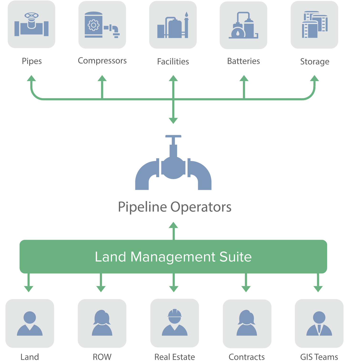
Integrate Your Land With Other Systems to Improve Efficiency

Make it easy for your business teams to track and manage any type of land right from acquisition to divestment. Automate day-to-day tasks to save time and increase efficiency with Pandell’s land and GIS suite. Pandell integrates with your accounting, document management, and facilities management systems to facilitate accurate administration of intricate obligations and provisions, tasks, and payments. Track progress on new development projects in real time, and view project work on intuitive, easy-to-use web maps.
What's Your Business Challenge?

  • Challenge

    Making Sure Work is Compliant

    Solution

    Latitude Solution “Lorem ipsum dolor sit amet consectetur adipisicing, elit. Ab rem reiciendis suscipit a. Consectetur expedita voluptates ipsa, inventore eum incidunt velit libero laboriosam neque nulla aliquam quae nobis maxime minima. Lorem ipsum dolor sit amet consectetur, adipisicing elit. Sed, mollitia? Praesentium reprehenderit soluta iste nam aut, temporibus necessitatibus, odit corporis reiciendis eos alias fuga quidem iusto sit. Suscipit, quidem, adipisci!”
  • Challenge

    Keeping Land Data Consistent

    Solution

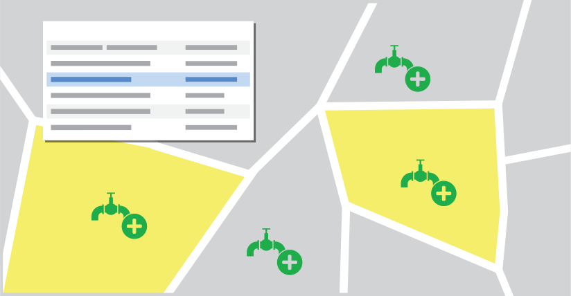
    Integrate Land and GIS Software “We’re a pipeline company managing 1,500 agreements and growing. Seeing these mapped assets is important to me, and I like the thumbnail maps embedded in each land agreement record. The tight integration between land and records database and GIS means if we update the land record, those changes automatically update in the GIS map which saves us time and ensures accurate, consistent data.”

  • Challenge

    Tracking Tasks, Payments, and Obligations

    Solution

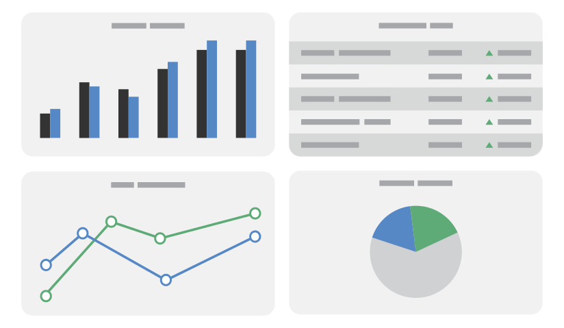
    Easily Run Reports & View Dashboard Tasks “As a Fortune 50 company with a large variety of assets, we rely on Pandell software’s flexible reporting tools to improve operations. The software comes loaded with pipeline-specific dashboard widgets and reports that help us track completion of required tasks to support regulatory and environmental compliance requirements. The automatic report generation, customizable dashboards, and ad-hoc reporting makes it easy to monitor easement and ROW agreement provisions and obligations.”
  • Challenge

    Reducing IT Management Costs

    Solution

    Offload Infrastructure & Maintenance “We’ve got nearly 6,000 miles of natural gas transmission line in the U.S. My team knows more about managing land than managing databases, so we like that Pandell software makes it easy to accomplish tasks and run reports without having to be technically savvy. Plus, we are saving in server costs with hosting, and it takes something off of IT’s plate.”
  • Challenge

    Making Accurate Land Asset Payments

    Solution

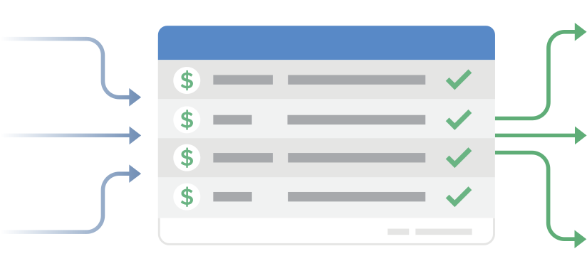
    Integrate Your Land & Accounting “Pandell software easily integrates with our accounting, document management, and facilities management systems for a holistic approach to managing our assets. For example, I can make one-time, annual, and escalating payments on a scheduled or as-needed basis. I also can produce a payment due report to review and verify that the payments are correct, and if anything seems off, I can pull up a scanned document to see the original agreement to ensure accurate payment.””
  • Challenge

    Improving Time Management Efficiency

    Solution

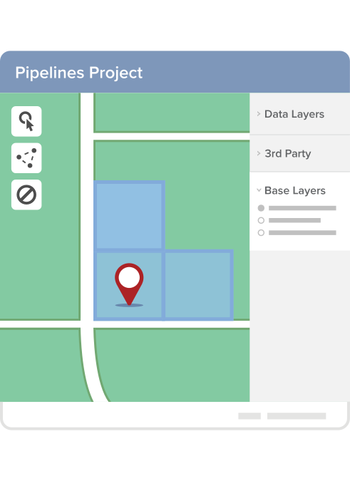
    Automate Mapping, Tasks, and Reminders “Pandell software has allowed us to automate our day-to-day land-related tasks, which has saved work hours and promoted real efficiency. Emailed reminders help keep us in compliance with agreement terms and special conditions. We promptly get out information to stakeholders using Pandell’s auto-fill Microsoft Office Forms tool to easily generate letters. With Pandell GIS, we can create surface projects in minutes by loading ownership data and polygons from a GIS tax parcel map directly into the system. The AutoMapper Tool can automatically map standard/non-standard lots and ROW buffers, saving us time and money. Map status reports even tell me which records didn’t automatically map and how to fix them.”

All-in-One Robust Pipeline Management Suite

  • Developed for operators, midstream and interstate natural gas pipelines, QuickNom is robust, process-intensive software that saves your business time and resources.
  • Our Natural Gas Inventory offers a comprehensive enterprise-wide solution with crucial data for overseeing storage facilities and hubs.
  • COPS offers crude oil pipeline operators a user-friendly and economical solution for overseeing vital pipeline operations and tasks while optimizing manual planning activities.
  • Wholesale EDI solution assists interstate pipelines, shippers, and marketers with the secure exchange of pipeline transactions with their trading partners.

Single-Source, Web-based Repository for All Land Asset Data

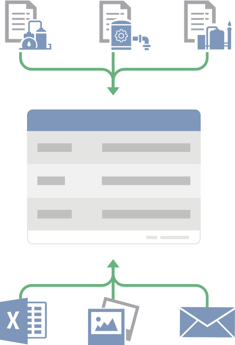
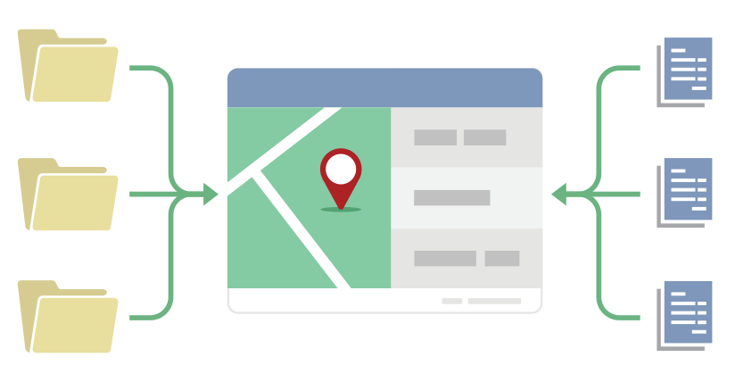
  • Easily search and report on your pipeline leases, deeds, easements, term rights-of-way, permits, contracts, and more from one database.
  • Web access from anywhere. Mobile tools allow updates from the field.
  • Automatic audit controls and robust security options ensure the integrity of your data.

Esri GIS Mapping Made Easy for Land Staff & Non-Experts

Automatic Payment Calculation & Digital Processing

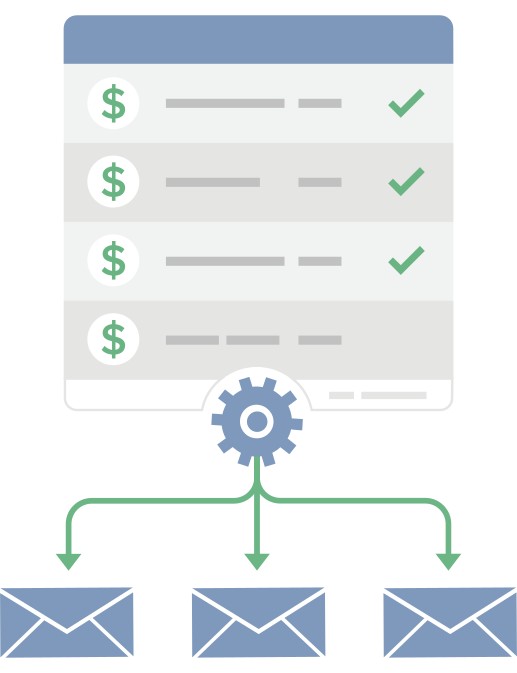
  • E-calendar functionality tracks all payment obligations and delivers reminders to designated staff.
  • Records and calculates escalations as required.
  • Allows electronic payment approvals.

Real-Time Project Tracking and Stakeholder Communication

  • Real-time web portal for communication between energy operators and project land and field agents.
  • Cloud-based project repository for all land agreements and related documents.
  • Document landowner and community stakeholder communications for compliance reporting.
  • Project status maps designed to support multiple parallel workflows.

Pipeline Specific Reporting & KPI Dashboards

  • Standard reports designed for the pipeline industry let you query and retrieve agreements by line or facility. Create reports and maps showing vegetation management, ingress/egress provisions and obligations along a line.
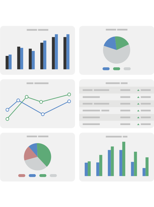
  • GIS-enabled dashboard analytics provide custom reporting criteria for day-to-day operations and at-a-glance executive decision making.
  • Advanced Excel reporting capabilities.
  • Supports FASB/IFRS reporting requirements with automated exports of key lease data changes to accounting.

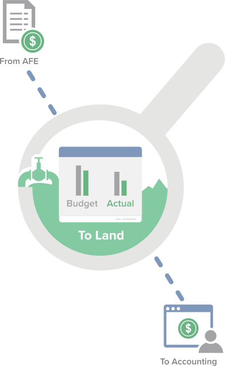
End-to-End Project Budget Management

  • Generate, approve, and track AFEs from inception to close-out for the development of new pipelines, infrastructure, and other capital projects.
  • Monitor AFE costs against budget by tracking AFE actuals and forecasting remaining costs.
  • Integrate with your financial system (SAP, Oracle Financials, Great Plains, and more) to share vendors, chart of accounts, payments, and actual costs.
  • Integrate with the land system to communicate project status with land stakeholders in real-time.

Why Choose Us?

Best Product FunctionalityOur state-of-the-art products enable office, field, and management to perform daily tasks with ease, connect workflows across departments, and make well-informed decisions based on powerful reporting analysis.

Outstanding Customer ServiceFrom our top-ranked help desk and user training programs, to our product implementation, hosting, data migration, land record digitization, and mapping services; we have the most comprehensive value.

Proven Technology LeadershipWith a significant portion of our revenues directed right back into R&D, we constantly evolve our product suite to support ongoing customer growth, shifts in regulatory standards, and advancements in digital technology.

Future FocusedWe believe every Pandell software user deserves an awesome customer experience. Our focus on Technology, Hosting, Integration, and Support, underscores this belief and guides us in our ongoing work.



Top Pipeline Companies Use Pandell Software

See What Top Pipeline Companies Are Using

For Benefits, Pricing, Integrations, and more...

More Information on Pandell Pipeline Software

Pipelines Industry

Download Suite PDF


Social and Info

Our Latest Posts Pandell's LinkedIN

Tomorrow’s the day! 🗓️
Our Enterprise Land Intelligence Webinar Series continues with Part 2: The Data You Already Own But Can’t Use.

If you’ve already registered, we’ll see you there. If not, this is your last chance to save a spot.

In 45 minutes, Matt Kopycinski and Mark Woloszyk will cover:
- Why legacy land records stay locked away
- How to turn paper and PDFs into usable GIS data
- How AI speeds up the conversion
- How to connect legacy data to today’s land work

🗓️ Wednesday, Nov 4 | 11:30AM CDT
👉 Last chance to register: https://hubs.ly/Q04D2P7N0
#Pandell #LandManagement #GIS #AI #Webinar


📍 Proud to Sponsor LEMAC!

Pandell is proud to be the Conference Venue Sponsor for LEMAC on November 5!
We’re excited to support an event that brings industry professionals together to share knowledge, strengthen relationships, and explore new opportunities across the industry.

We look forward to connecting with attendees and being part of a great event.
See you at LEMAC!

#Pandell #LEMAC #ConferenceSponsor #IndustryConnections #Networking


🗺️ IMGIS DAY 3 — COME SAY HI! We’re still at Esri IMGIS 2026, and there’s time to connect with the Pandell + Whitestar team! Stop by Booth #403 to see how land management and geospatial data can work together to deliver smarter insights.

🎤 MISSED OUR PARTNER SPOTLIGHT?
Thanks to everyone who joined Matt Kopycinski and Mark Woloszyk on Tuesday! If you couldn’t make it, or want to go deeper, join them next Wednesday, November 4, for Part 2 of our Enterprise Land Intelligence Webinar Series: The Data You Already Own But Can’t Use.

👉 Register here: https://lnkd.in/g4kvwhPz
🏆 Still time to climb the leaderboard! Play the Alquoter Game at Booth #403 for a chance to win a luggage set.

#Pandell #Whitestar #IMGIS2026 #EsriIMGIS #GIS #GeospatialData #LandManagement #AIReady


These two great guys took the stage yesterday at IMGIS!

Matt Kopycinski and Mark Woloszyk presented AI-Ready Enterprise Land Intelligence: Modernizing Land & ROW Acquisition, exploring how energy organizations can connect active acquisition projects, GIS data, and AI to make better use of the land records they already have.

From keeping acquisition projects visible to turning legacy agreements into structured GIS data, there’s a lot of opportunity to rethink how land and ROW teams work.

At IMGIS this week? Come say hello!
Stop by booth #403 to meet the team, talk land and GIS, and explore what AI-ready Enterprise Land Intelligence could look like for your organization.

#IMGIS #EnterpriseLandIntelligence #GIS #AI #LandManagement


Your team has decades of land records. How much of that can they actually use today?

👉 In Part 2 of Pandell’s Enterprise Land Intelligence Webinar Series, Matt Kopycinski and Mark Woloszyk will show how AI-powered tools like Paper to Poly turn deeds, leases and historical maps into searchable, mapped GIS data. And you won’t need a multi-year migration project to do it.

In this 45-minute Lunch & Learn, we’ll cover:
- Why legacy land records stay locked away
- How to turn paper and PDFs into usable GIS data
- How AI speeds up the conversion
- How to connect legacy data to today’s land work

Wednesday, Nov 4th | 10:30 AM MDT
👉 Register here: https://lnkd.in/guvJ5rub


🗺️ CONNECTED. QUERYABLE. AI-READY.

Pandell + Whitestar are heading to Esri IMGIS 2026! Stop by Booth #403 to discover how connected land management and geospatial data can help your team make smarter, more informed decisions.

🎤 Catch Us at the IMGIS Partner Spotlight!

📅 Tuesday, October 27
⏰ 1:30–2:00 PM
👥 Featuring Matt Kopycinski and Mark Woloszyk

🏆 Think You Can Take the Top Spot?

Put your mapping skills to the test in the Alquoter Game at Booth #403! Climb the leaderboard for a chance to win a luggage set and take your next adventure on the road.

📍 Visit Pandell + Whitestar at Booth #403 to connect with our team, explore our solutions, and play to win!

#Pandell #Whitestar #IMGIS2026 #EsriIMGIS #GIS #GeospatialData #LandManagement #AIReady #Mapping


🎃Good Conversations. Great Connections. Proud to Support ETC 2026!

👻Don’t let land management nightmares haunt your business!

Pandell is proud to be a lunch sponsor at Electricity Transformation Canada 2026. Join us to connect with industry professionals, share ideas, and explore what’s next for Canada’s energy industry.

🚀**Ready to scare away your land management woes? Request a demo and discover how Pandell can help!**

#Pandell #ETC2026 #EnergyIndustry #GIS #IndustryConnections #LandManagement


📣 Pandell is proud to support the Canadian Association of Land and Energy Professionals Conference 2026 as a Conference Registration Sponsor!
We’re excited to support CALEP and connect with industry professionals who are shaping the future of the energy and land sectors.
At Pandell, we’re committed to helping organizations streamline land management, improve operational efficiency, and keep critical projects moving forward through innovative software solutions.
We look forward to connecting with attendees, sharing insights, and building relationships at this year’s conference!
#Pandell #calepevents #LandManagement #EnergyIndustry #CALEPNorthernHorizon


How do you modernize active land and right-of-way acquisition without replacing your existing land system?

In Part 1 of Pandell’s Enterprise Land Intelligence Webinar Series, we’re breaking down practical ways to solve visibility bottlenecks across scaling acquisition programs.

In just 45 minutes, we’ll explore:

> Why active land projects lose visibility as programs scale

> How to make ownership, next actions, and blockers clearly visible

> How modern workflows connect internal teams and external partners

> How to modernize active acquisition alongside your existing system

Date & Time: Wednesday, Oct 7th | 10:30 AM MDT

Click the link to register for the webinar: https://hubs.ly/Q04ysDJ50

#DigitalTransformation #RightOfWay #GIS #LandManagement #Webinar


View All Pandell Posts