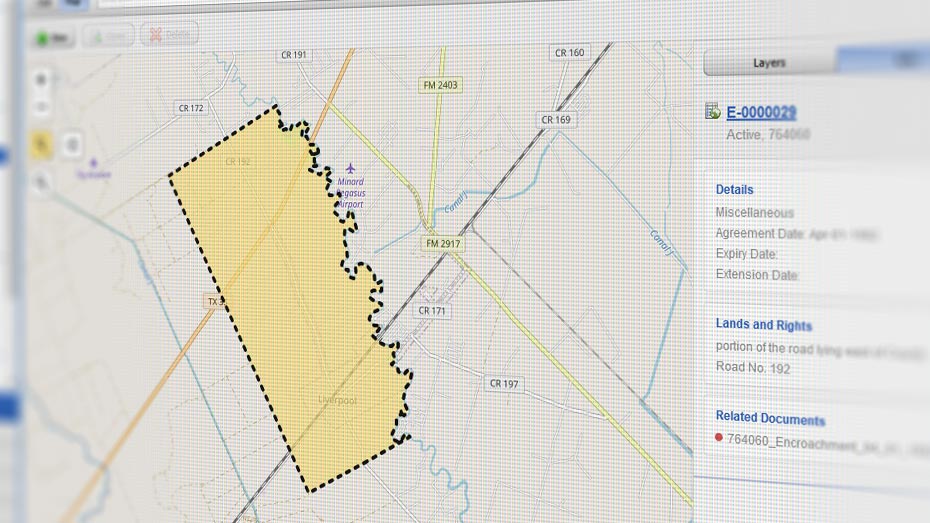
The energy sector deals with a ton of data. But without the right tools to make sense of it, much of that data stays buried. Enter GIS. In simple terms, GIS helps turn raw geospatial data into visual maps and insights, allowing you to spot trends, patterns, and make more informed decisions.
Gone are the days of sifting through endless spreadsheets and stacks of paper. With GIS, your data is visually displayed in a way that integrates detailed information, making it easier for your teams to find answers fast and provide stakeholders with the info they need, quicker.
One of the leaders in GIS technology is Esri. While Esri’s system can be quite technical and typically requires a GIS professional, the company has teamed up with tech firms to develop user-friendly platforms that leverage Esri’s data. This means your team, even without GIS expertise, can still use geospatial data on their own – freeing up your GIS pros to focus on more complex projects.